 |
| 1918 Farm Map | |||||||
| 1864 Map East Half | |||||||
| 1864 Map West Half | Memorabilia | ||||||
All Along Sandy Creek area were many old mostly abandoned factories.
The Roy Green house, now (in 1980) used by K-B Motors (now gone) on Liberty
Street
was at one time E D Spicer's candle and soap factory.
About where O D Greene's was in 1980, was a woolen factory established
by Julius Fox; 1860 sold to various owners over the years, for example
W R Willis Jr, and then in 1884 to William Wheeler; 1889 to W H Proctor
of Ogdensburg who formed the Adams Lumber Company. There was a planing
mill
and a blind and sash mill established in 1860 by W C Wheeler.
Opposite the bank where Grange Avenue now runs was a tannery owned by the Weavers.
Along Liberty Street bank was a cheese factory established 1864 by Huestis, Lewis and Ingraham.
About opposite the creek was Holman & Withington Foundry and Machine Shop.
Along Spring Street bank about where the Niagara Mohawk sublet is (in 1980) was a Brewery and Malt House owned by Kellogg & Patrick.
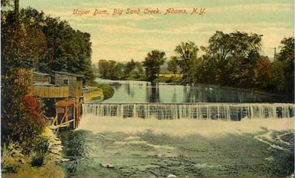
There were many little walls and dams
and evidences of factories all along the creek.
Unfortunately the water smelled badly from pollutions of every kind.
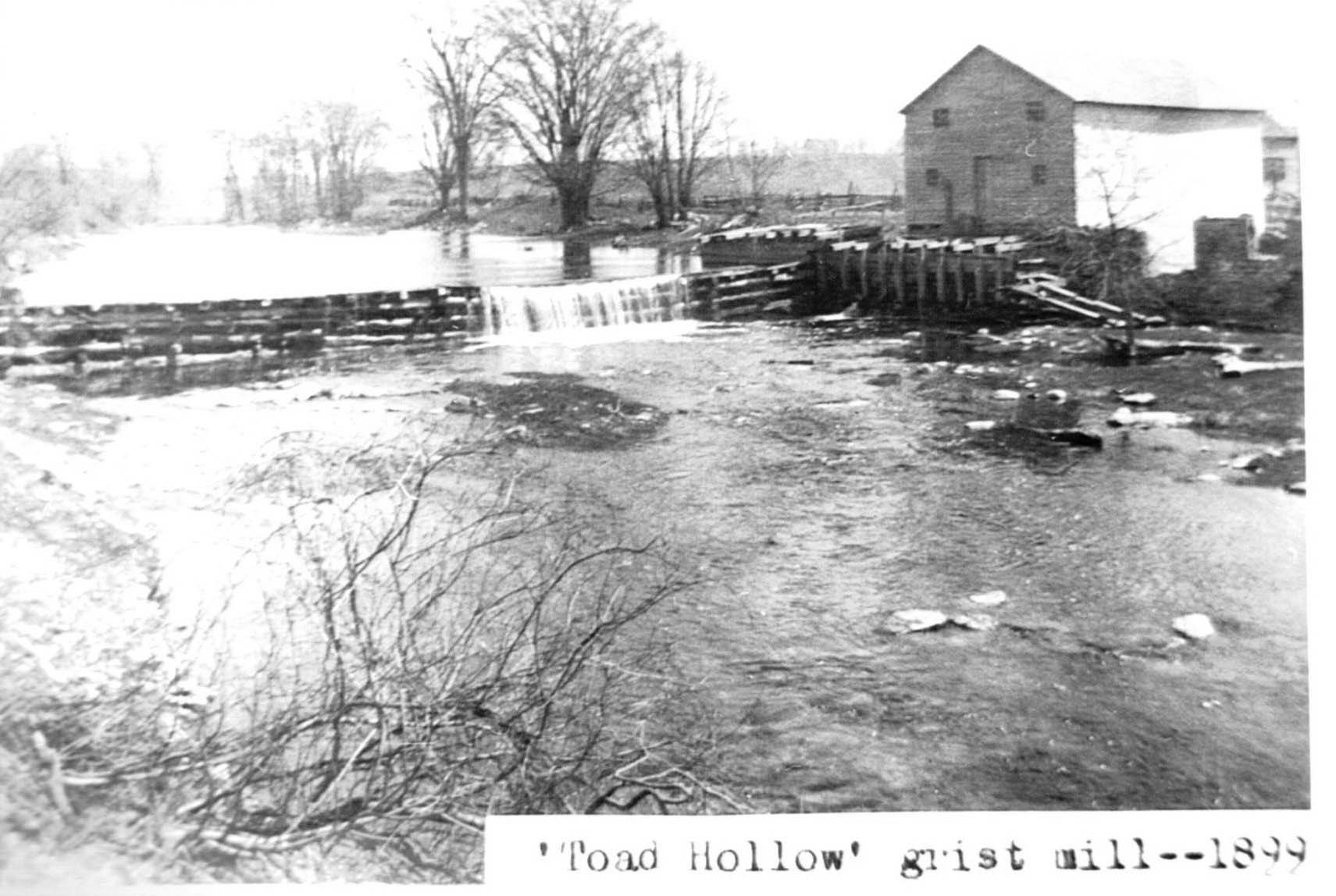
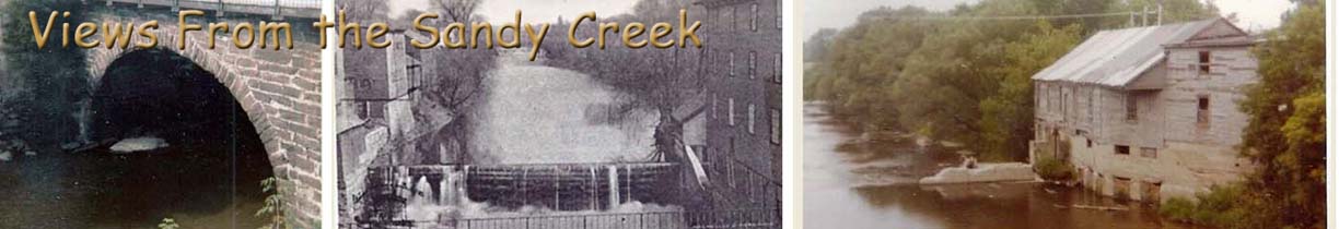
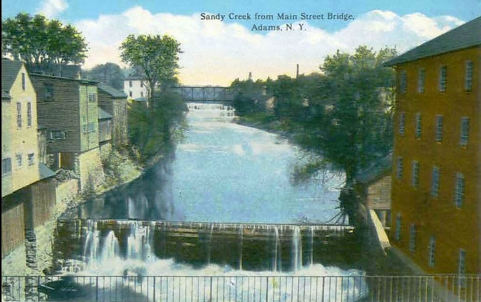
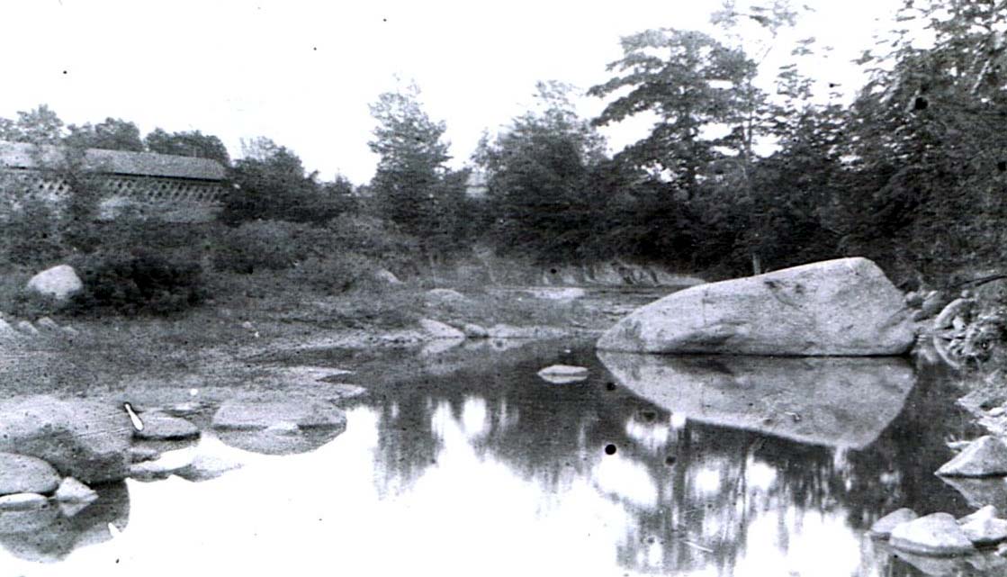
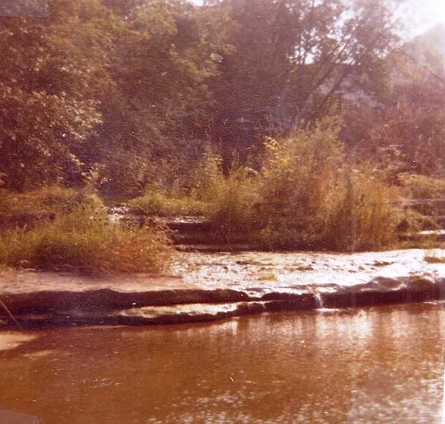
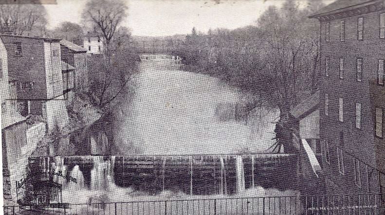
Below: An old view of Creek in Adams -
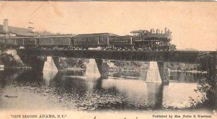
This old photo looking west along the North Branch
of Sandy Creek from Main Street bridge in
Adams shows a different view than would be seen today. The building on
the left was an early candle factory and later was Roy Greene's home.
Dr Nicholson's barn is viewed at the right and farther west the railroad
trestles span the creek. Very few houses had been built along
Liberty Street at that time.


Below, 1980:
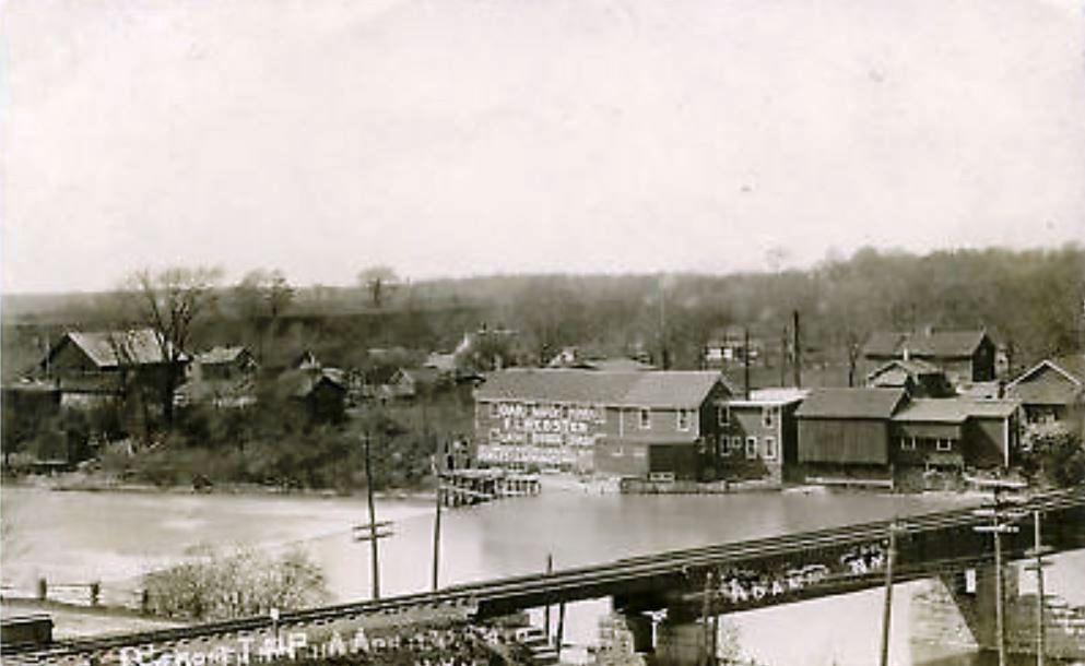
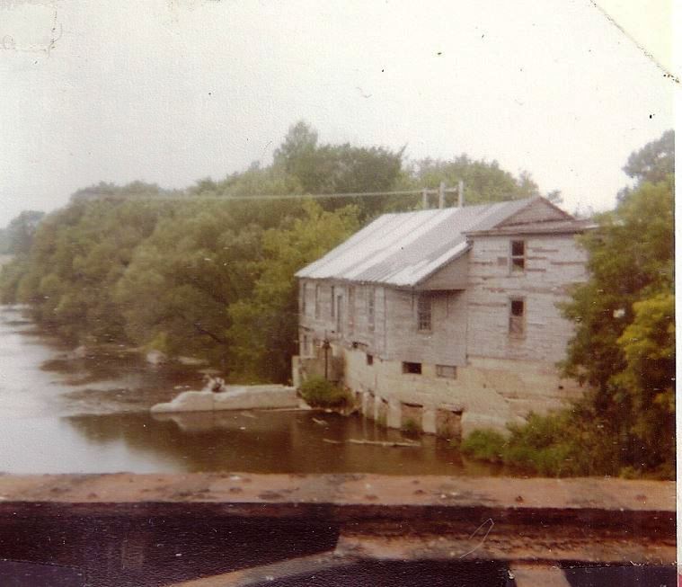
The back view of C N Snyder as seen from Liberty Street
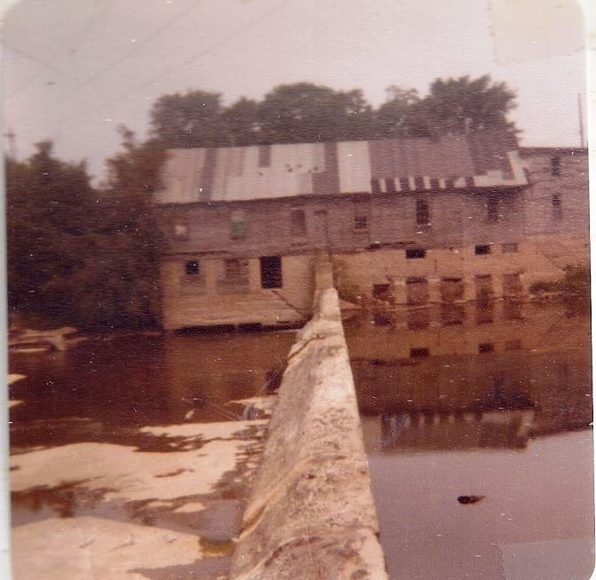
BELOW, 1980:
Showing is the hinder part of C N Snyder & Son. It was at one time F L Webster Lumber mill.
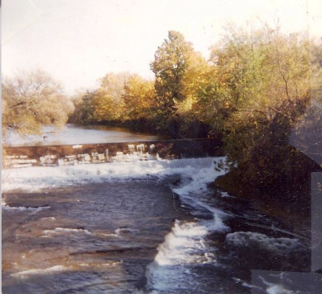
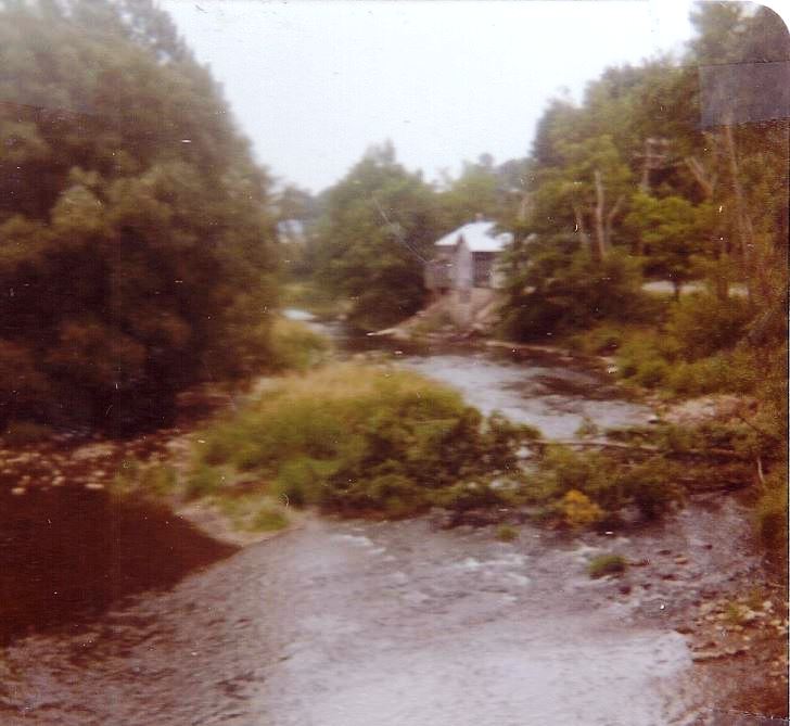
BELOW, 1980:
Further down Streeam was a cannery which burned. It was to the rear of the then present-day (in 1980) Berry's Mobile Station.

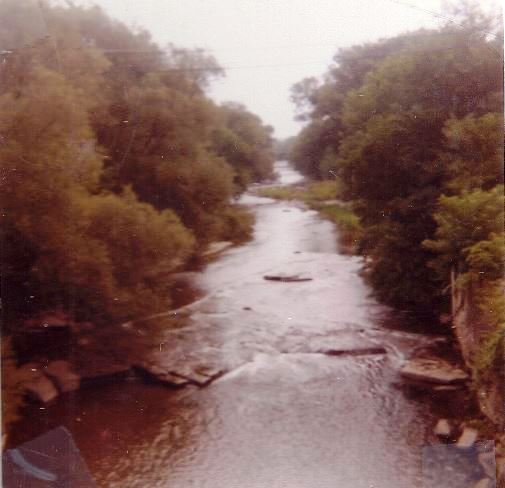
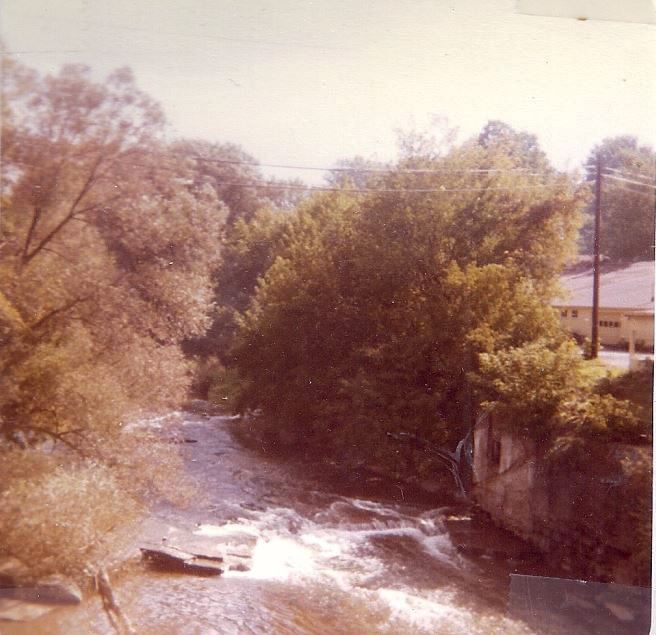
BELOW:
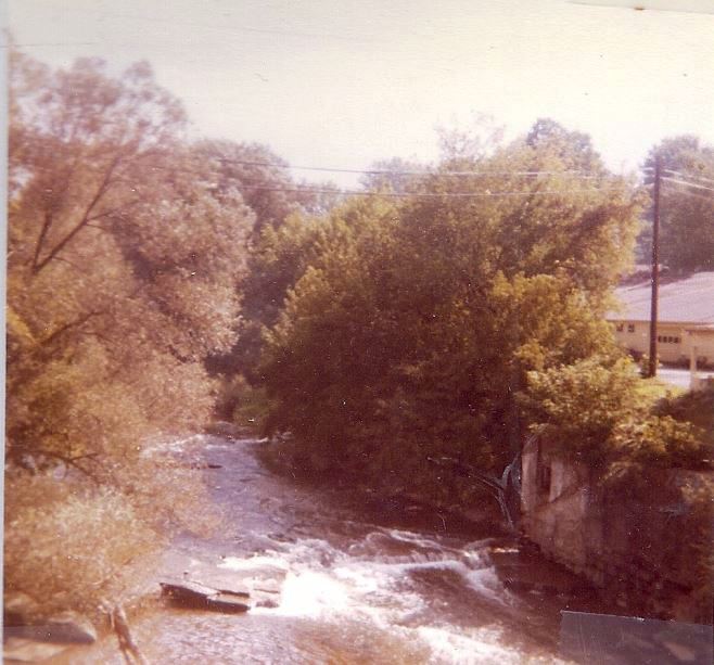
1980 Looking East on Park Street Bridge
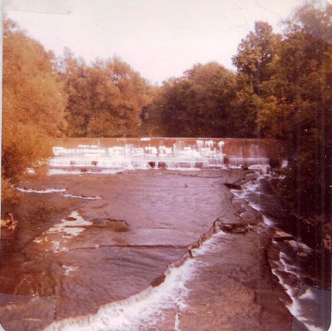
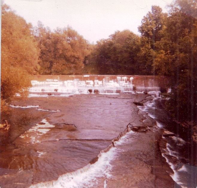

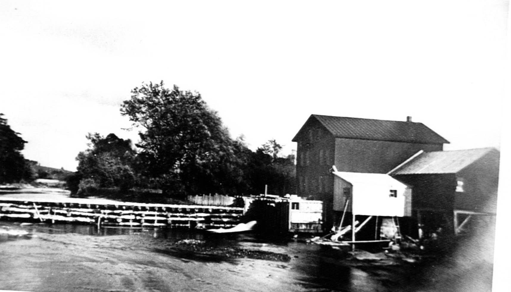
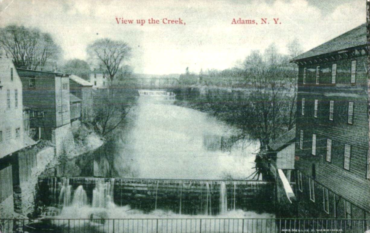
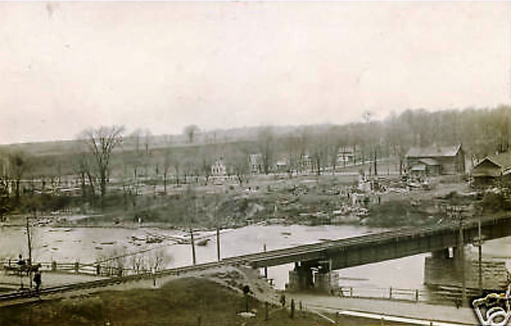
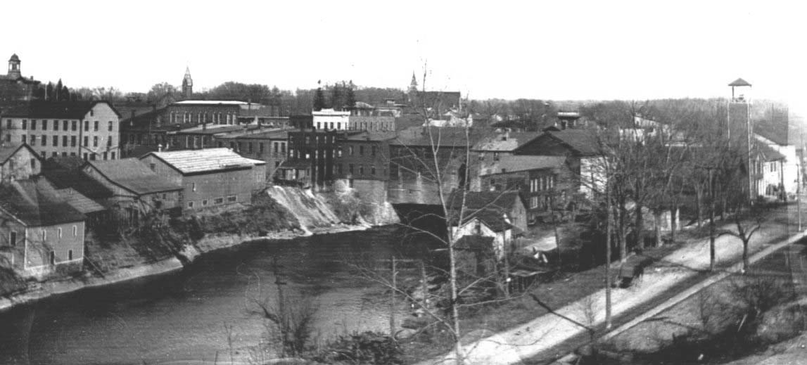
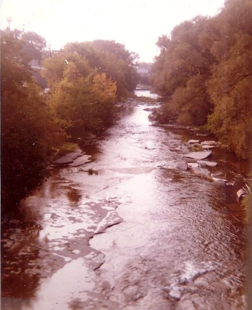
BELOW:
The view is taken from the downtown bridge looking toward the east. Notice a second dam which powered the saw mill and grist
mills on the right. It also took the life of Nicholas Salisbury, Dec 10 1833, the town's first settler/
 .
.
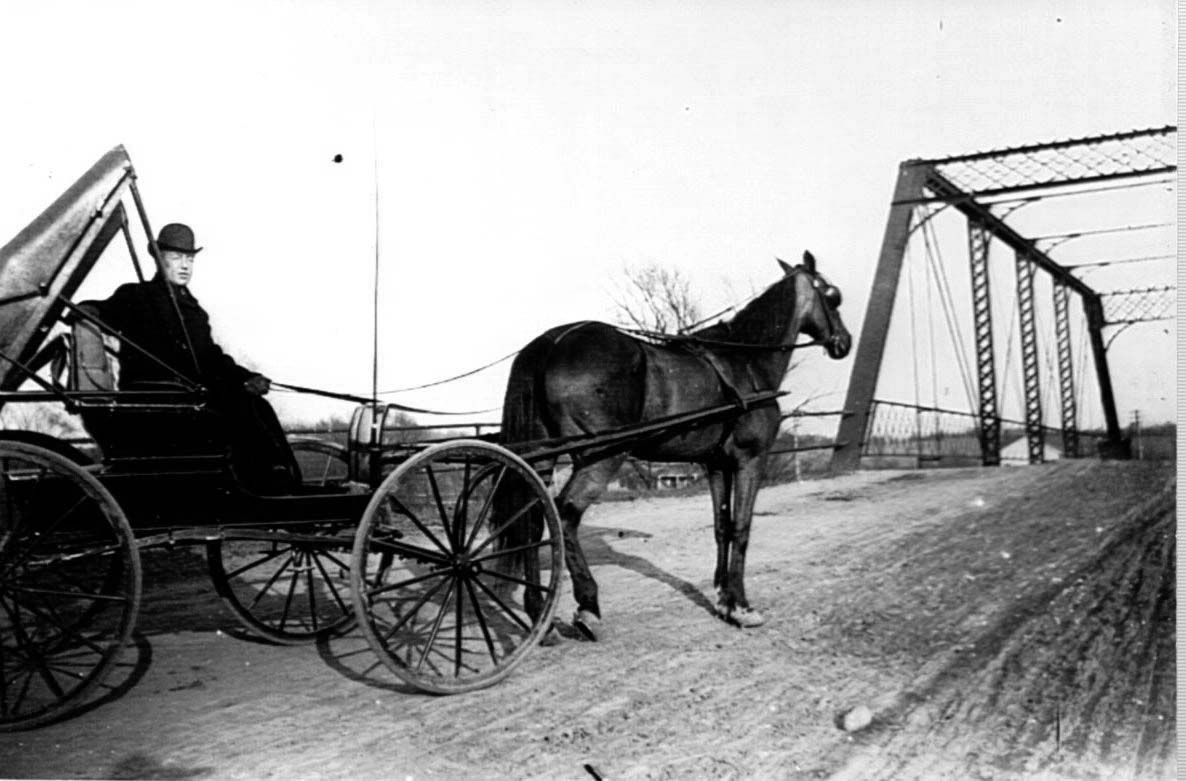
BELOW: Dr Goss headed over Lisk Bridge:
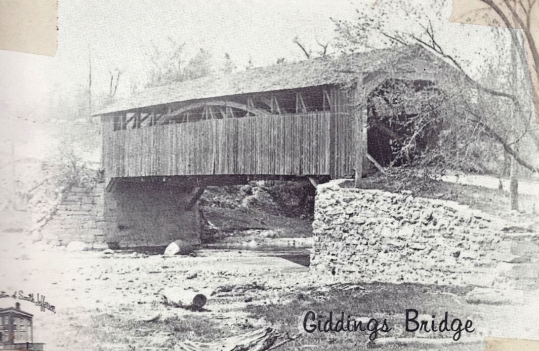
The Giddings Bridge is located on a small road that
goes off to the right side of
Route 11 headng south just before what used to be the Valley Filling Station