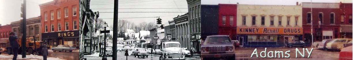
 |
| 1918 Farm Map | |||||||
| 1864 Map East Half | |||||||
| 1864 Map West Half | Memorabilia | ||||||
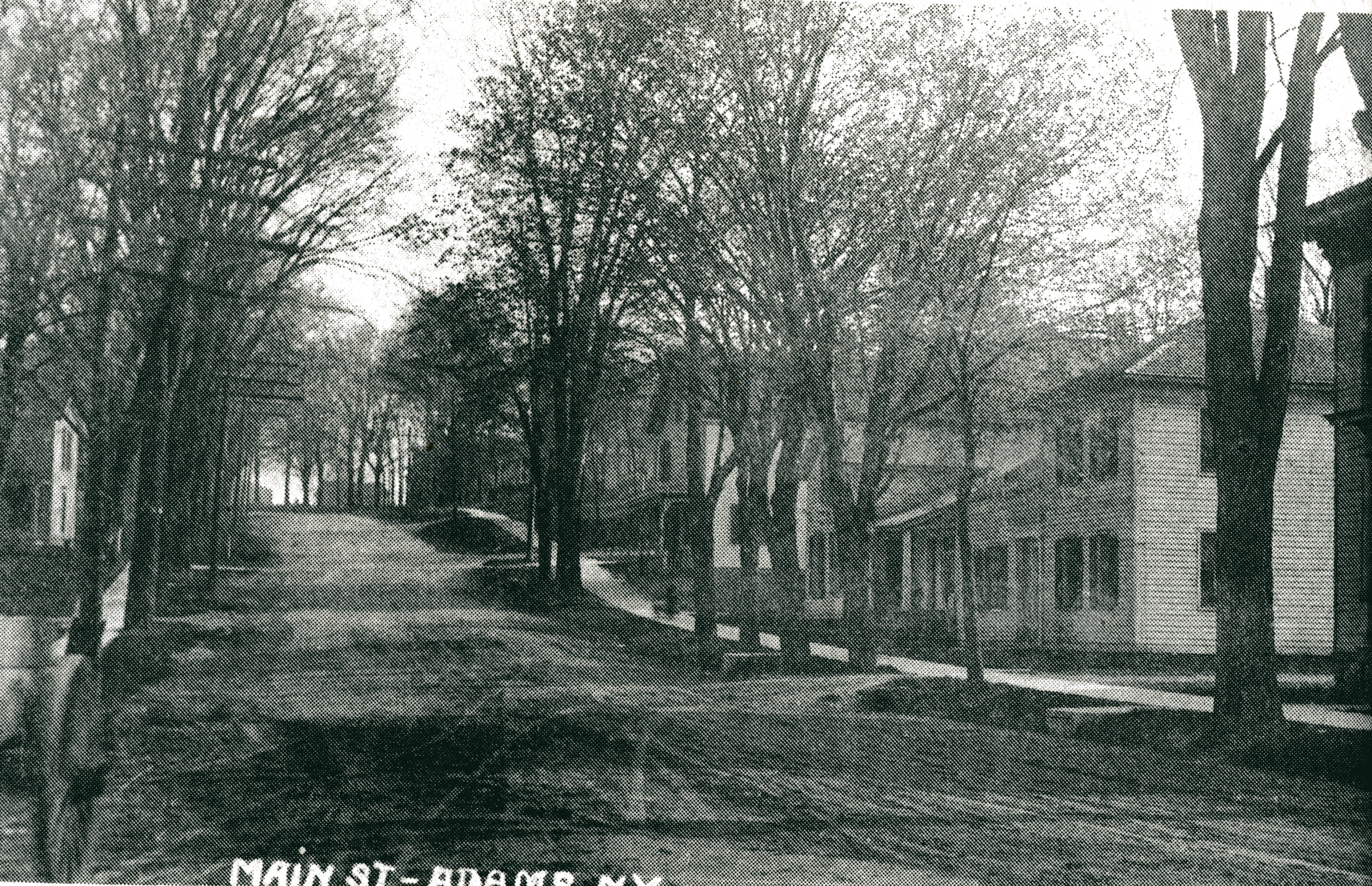
NORTH MAIN STREET
BELOW. 1980:
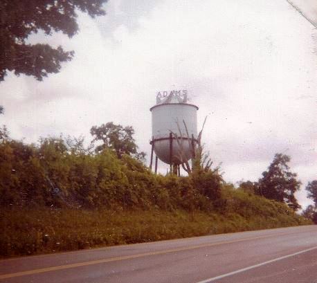
The water tower located on Route 11 stands on Doxtator's Hill
BELOW: Image from the 2005 Jefferson Co Journal Commemorative Publication:
Below, 1980
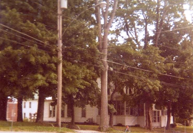
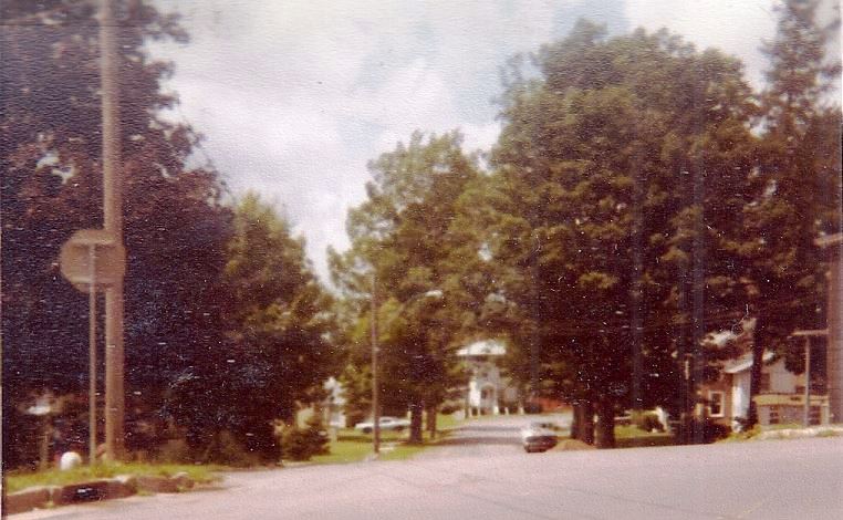
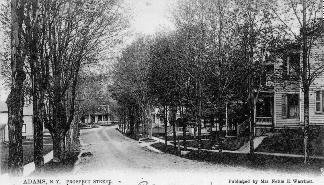
Looking out Prospect Street onto North Main Street.
Prospect Street used to
be named North Street.
Looking out Prospect Street onto Main Street 1980
BELOW
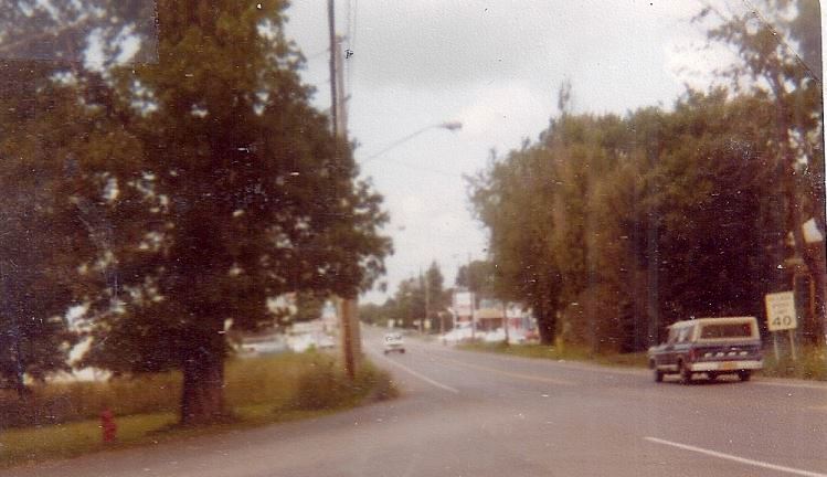
Looking down North Main Street 1980
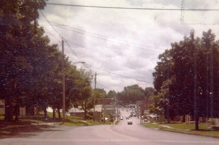
BELOW, bottom of Main, beginning of North Main
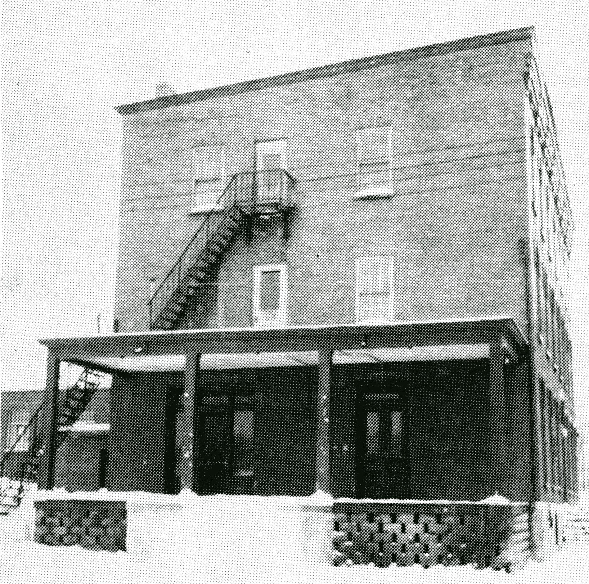
old Community Building --- remember where Adams and
area residents heard band concert Saturday
night on the old Community Building porch? This is the way it looked before
it was razed to make room
for the more modern used building for Village offices and the fire department
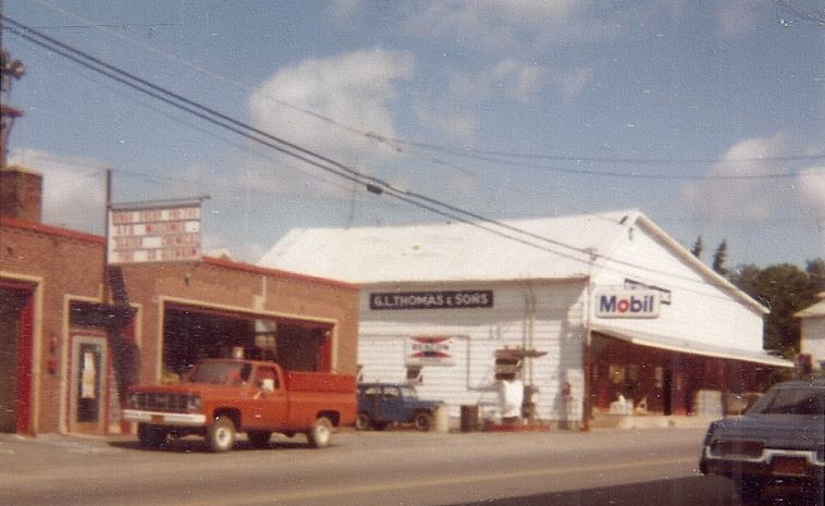
BELOW, 1980
G L Thomas is now gone and is a parking lot for the Fire Department.
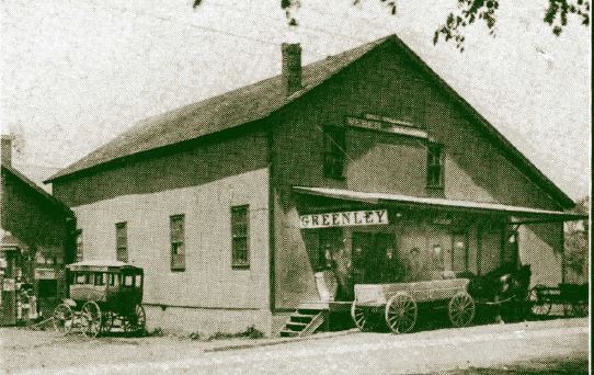
This is where Dell Greenley & Sons Auto Dealers
Was located
BELOW: Image from the 1909 Firemens' Souvenier Book:
Below, 1980
This is opposite the Fire Department on the bottom of North Main Street.
Ecology Park was formed in the 1970's
and is just a grassy area with no benches or tables.
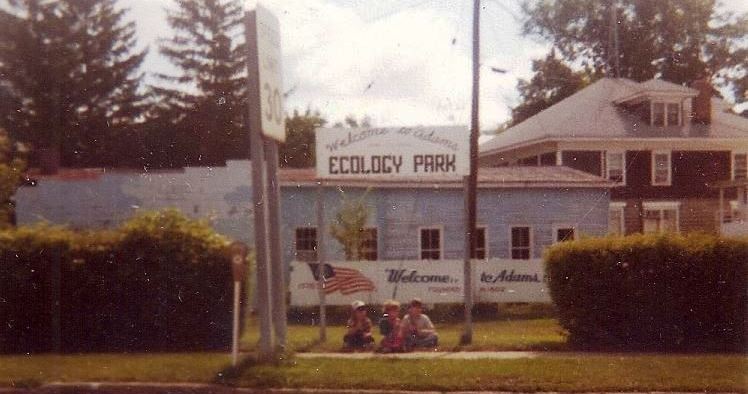
Below, 1980
At the top of North Main Street hill was Gables Old Folks home.